
How will the end of paper nautical charts impact us?
Published on October 29th, 2013
By Tom Lochhaas, About.com
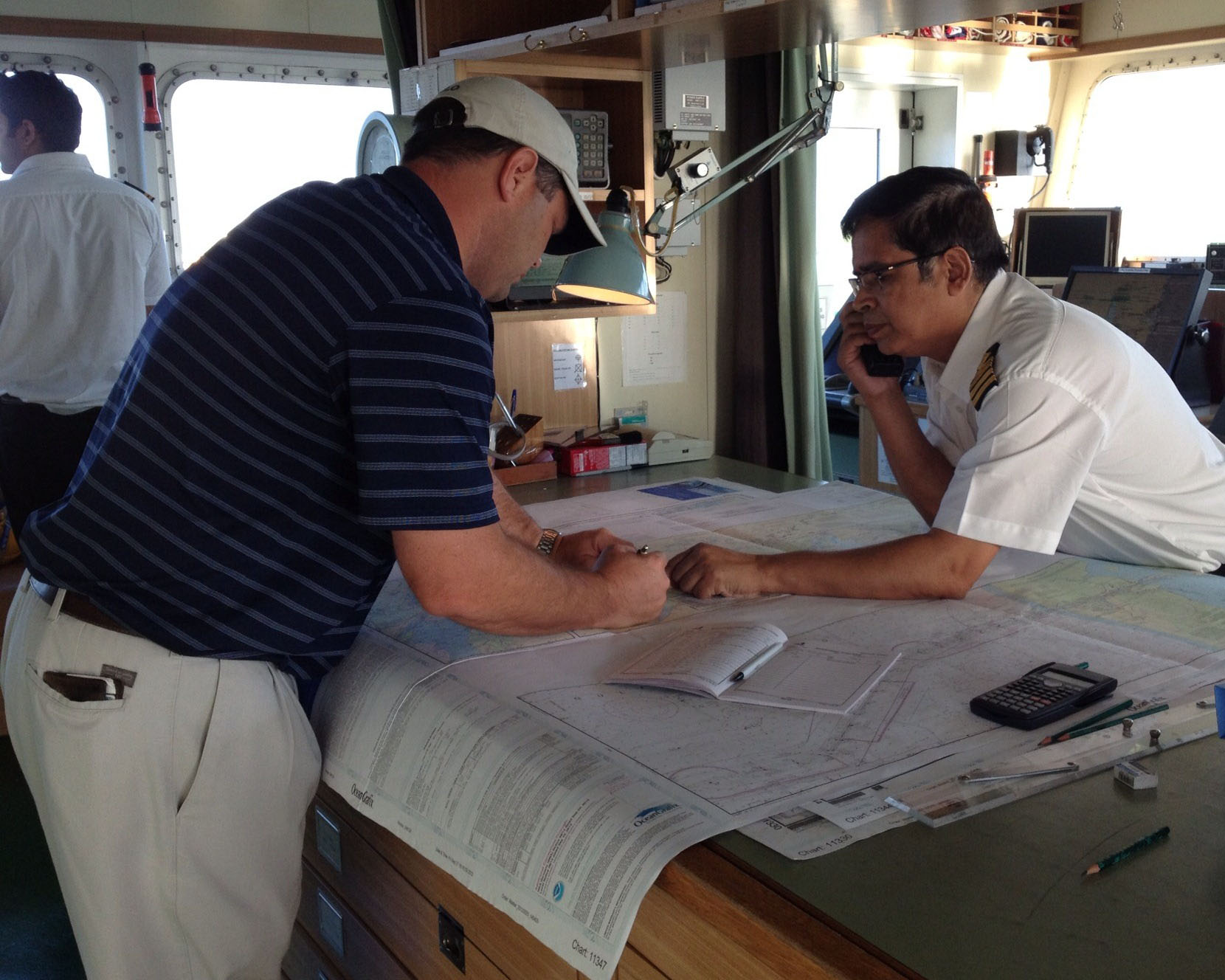
When NOAA issued a release (on Oct. 22) stating that as of April 13, 2014, the US government will stop printing traditional paper marine charts, the announcement comes as a shock to many sailors who grew up and learned navigation with paper charts. However, the actual effects of this change should be minimal.
First, NOAA will continue to maintain electronic charts in both ENC and raster formats (see here if you don’t know the difference) – and they will be regularly updated as always. Chartplotters and navigation apps both rely on these NOAA charts for US waters, and we should see no change in these. Second, NOAA will continue to allow commercial vendors to make and sell NOAA-sourced paper charts, as they have for decades. In reality, most boaters have been using such “private” charts already (such as regional booklet charts, waterproof charts, etc.), rather than the individual paper charts printed by NOAA. These more readily available charts often include additional information, such as waypoints and marina data.
So we probably won’t see changes here too in the types of paper charts most of us have been using. Overall, this change may mean little, except perhaps to lend more weight to the argument that paper charts aren’t needed anymore, given how many mariners use electronic charts exclusively. That’s a different issue altogether, and one I won’t go into here – except to make a general claim that paper charts still have some value on boats even if you have a dozen backup GPS devices with independent batteries, etc. We’ll save that debate for another day.


Related Posts
Warming planet affects our sailing plans →
2023 Atlantic Hurricane Season wraps up →
Difference between an ocean and a sea →
 We’ll keep your information safe.