
Options for accessing NOAA Charts of U.S. coastal waters
Published on November 6th, 2013
NOAA’s Office of Coast Survey, which creates and maintains the nation’s suite of over a thousand nautical charts of U.S. coastal waters, will no longer print traditional lithographic (paper) nautical charts starting April 13. Here are some options for chart access:
NOAA nautical charts now available as free PDFs
The latest addition to the nautical charting portfolio is the new Portable Document Format (PDF) nautical chart, which provides up-to-date navigation information in this universally available file type. Initially, the PDF nautical charts will be available for a three-month trial, from October 22, 2013, to January 22, 2014. Details.
Coast Survey unveils NOAA ENC Online Viewer
For more than ten years, since NOAA introduced its electronic navigational charts, you have needed to purchase a specialized chart display system to view the NOAA ENC® as a seamless chart database. Starting November 6, you don’t need a system to view the ENC depictions; you can use Coast Survey’s new web-based viewer called NOAA ENC® Online. Details.


Related Posts
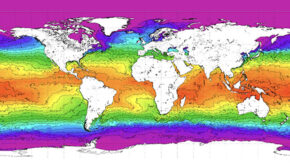
Warming planet affects our sailing plans →
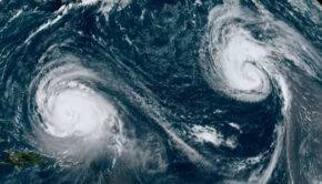
2023 Atlantic Hurricane Season wraps up →
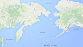
Difference between an ocean and a sea →
 We’ll keep your information safe.