
Coast Survey ends beta test of MyNOAACharts
Published on March 25th, 2014
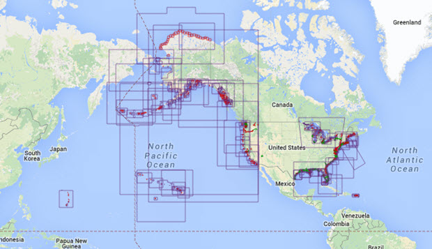
Recreational boaters and commercial mariners are riding a new wave of digital navigation products, and Coast Survey is aggressively rebuilding their product line to make it easier for boaters to catch the digital wave. Last year’s beta test of MyNOAACharts, an app for Android tablets, demonstrated a popular demand for an integrated GIS-capable mobile system that links NOAA charts and the United States Coast Pilot®.
While Coast Survey will remove the beta app from the Google Play Store on March 29th, the testing phase was important to the next generation of NOAA’s charting products.
“We learned some productive lessons from MyNOAACharts, even though we had to limit its use,” said Capt. Jon Swallow, chief of Coast Survey’s Navigation Services Division. “We especially appreciate the support – and great tips and advice – from hundreds of users. Those users should be happy to know that their insights are driving our new generation of digital chart products.”
“We are focusing our resources on making our charts and other products easily ingestible into any mobile device rather than developing apps for multiple operating systems. Our goal is to provide all mariners with access to the most updated charts and publications,” Swallow explained.

Coast Survey cartographers are already working on the next level of innovation in the private mobile app and chart plotter markets, developing ways to improve interfaces between NOAA nautical charts and mobile apps.
This summer, Coast Survey plans to release a new service that will make it easier for application developers to use NOAA charts in their products. By breaking charts into “tiles,” and providing the necessary metadata, Coast Survey hopes to encourage a new wave of digital charting services and products from the private sector. A second effort is underway to improve the Coast Survey web site for viewing charts and publications with mobile devices.
MyNOAACharts was an important step in Coast Survey’s overall digital strategy, which includes making NOAA navigational information easier to use in electronic navigation systems and mobile devices. Even though MyNOAACharts has been retired, we continue to welcome suggestions for how Coast Survey can improve our services to the mobile device market.
Source: NOAA

Related Posts

Operation Vigilant Sentry in Caribbean →

Hoisted off a sinking vessel →
How not to protect the environment →
 We’ll keep your information safe.