
Friday: Weather forecast for Key West Race Week
Published on January 24th, 2014
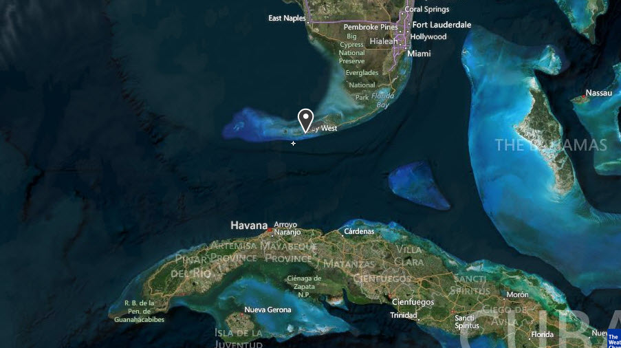
Quantum Key West 2014 hosts 123 teams competing for a full week (Jan. 20-24) in Key West, FL. Located at the southernmost tip of the continental United States, and just 90 miles from Cuba, having a handle on the weather is a challenge and a key to success at this elite event. Here is the weather forecast prepared by Sailing Weather Service issued 0705 LT 24 January 2014…
WARNINGS AND ADVISORIES: A SMALL CRAFT ADVISORY is posted for strong winds and rough seas in the Sailing Area today. Conditions can change quickly. Please monitor NOAA All Hazards Radio on your VHF for the latest official warnings and advisories from The National Weather Service.
SYNOPSIS: The regatta will end with a fresh breeze. In fact, it will turn out to be the windiest day of the week, with gusts over 20 and possibly 25 likely.
On the morning weather map, out attention is drawn toward a large, strong Arctic high pressure which has moved south out of Canada and is now spreading across the southern plains and southern Mississippi River valley. This high will continue to move south today while weakening, lying just north of the Gulf coast by this evening. There is a cold front moving southeast across the Gulf this morning, marking the leading edge of the Arctic air associated with the high pressure.

The cold front lies north of Key West as of this writing, but will be move south across the sailing area shortly. The front is relatively dry, with little cloud and no rain marking it at present (There are some showers/rain across the northern Gulf but well behind the front). The front will be moving south of the area mid-morning and before racing commences today. The building high pressure over the Gulf coastal states will support fresh to strong winds across the lower keys today.
NE winds at first this morning, will back NNE/NE and start to build mid- through late-morning. Fresh to strong breezes are expected by late morning lasting into the early afternoon. Some modest easing is expected in the later afternoon, along with a slight veering trends and return to the NE.
CURRENT CONDITIONS: Winds generally NE 10-15 across the keys, but stronger 20 knot winds noted north of Key West. There has been a slight veering trend noted over the last couple of hours.
The radar is clear of precipitation. Skies mainly clear across the Keys, but some low clouds have been developing most recently just to the north. Also, a band of high cloud lies over the eastern Gulf from about Tampa, southwest. This high cloud has been move slowly southeast.
FORECAST DISCUSSION: NE 10-15 early this morning, backing NE/NNE mid-morning and building 15-20 gusting 25. An additional build late morning through mid-day to 18-23 likely, with gusts 24-28 possible. Some modest easing 16-21 likely early to mid-afternoon with gusts easing under 25. Winds tending right toward NE in the latter half of the afternoon.
WEATHER: A few scattered clouds this morning. A patch of broken cloud cover is possible mid-morning, then becoming mostly sunny later morning through mid-day. Some modest increase in cloud cover is possible through the afternoon.
TEMPERATURE: Near 60F this morning warming to upper 60sF during the day.
SEAS: Moderate chop generally 2-3 ft this morning. Becoming rough late morning 3-5 ft, with sea height increasing with distance south and away from Key West.
Detailed Wind Forecast:
Time Wind Speed Wind Direction (MAG)
(LT) Mean Range Mean Range
0800 15 12-20 035 020-050
0900 19 15-22 025 015-040
1000 20 17-23 015 005-030 …gusting 25+
1100 21 18-24 020 005-030
1200 22 19-24 020 005-035 …gusts 25-30
1300 21 18-23 025 010-040
1400 20 17-23 025 010-040 …gusts 25
1500 19 17-22 030 015-045
1600 18 16-21 035 015-045 …gusts easing
1700 18 15-21 040 020-050
1800 17 15-20 040 025-050
HEDGE: FORECAST CONFIDENCE: ABOVE AVERAGE
1) The models are in remarkable agreement this morning and also generally agree with the observations. If anything, observed winds are little lighter than the models, however I think this is a short-live situation and we’ll see models and observations line up closely by mid-morning.
2) With the consistent models, I have used a model consensus in developing the forecast table this morning. I have slightly padded the wind speed forecast toward the high end of the modeled wind speed range, and also shows slight more left shift than the models, especially mid/late-morning.
3) Expecting a fairly sharp build in wind speed about 0900. Watch for the initial phase of building breeze to come with left-shift. Gusts will favor left shifts while lulls will be
4) Random and somewhat chaotic gusts and lulls late morning through mid-day. Mixing and turbulence off the upwind

Related Posts

Pics or it didn’t happen →

Drunk man steals tiki hut bar →

Key West racing is back →

 We’ll keep your information safe.