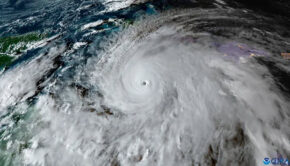
Hurricane Matthew Swamps Carolinas
Published on October 8th, 2016
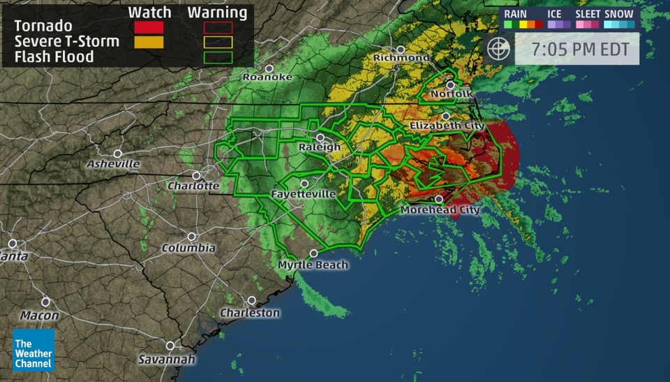
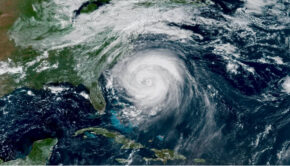
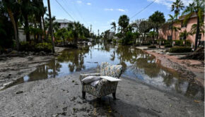
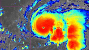
(October 8, 2016; 07:00 PM EDT) – Hurricane Matthew is triggering massive rainfall flooding in a large swath of North Carolina and parts of South Carolina after making landfall earlier with storm-surge flooding and high winds. Flash flooding is widespread in eastern North Carolina where hourly rainfall estimates from radar are as high as 7 inches per hour! Buildings have flooded, roads have washed out, and sections of Interstates 95 and 40 have flooded in the Tar Heel State.
Fayetteville, North Carolina picked up over 8 inches of rain in 6 hours Saturday morning and has totaled over a foot of rain from this event.
The NWS office in Wilmington, North Carolina, issued its first ever flash flood emergency early Saturday afternoon for Horry County, including the Myrtle Beach Grand Strand and Conway, South Carolina due to the combination of rainfall and storm surge flooding. Flash flood emergencies are only issued during rare, exceptionally dangerous events.


Related Posts
Good news for Atlantic hurricane season →
Three places overdue for hurricane →
Limitations of the Saffir-Simpson scale →