Sailing apps: How tech can help
Published on November 26th, 2018
Our friends at Latitude 38 magazine took on one of our favorite topics… sailing apps. Here’s what they had to share in the November 2018 issue.
Ask us why we love sailing so much and we’re likely to start waxing poetic. Because to us, much of the allure of the timeless art of sailing is that it rekindles our connection with a simpler era, inspiring us to cast off the shackles of modernity and free ourselves from the incessant clatter of machinery and the mind-numbing buzz of the latest electronic gadgetry.
Ah, that is . . . with the exception of our favorite sailing apps, of course. We wouldn’t dream of going sailing without them! Seriously, no matter how salty or old-school you are, you’re bound to become enamored with at least a few maritime apps, if for no other reason than that they can make your days on the ocean a heckuva lot safer — especially while you’re on bluewater passages or when sailing in foreign waters.
We don’t profess to be experts on this subject, but there are a few popular apps we use often that we’d highly recommend. And we’ll also share the recommendations of a variety of readers — some of whom are longtime world cruisers.

Navigation
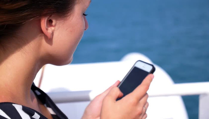
As with thousands of sailors world-wide, Navionics is our go-to app for both coastal and offshore navigation. It has a clean, customizable display, whether you use it on a built-in chart-plotter, a nav station computer or on your smartphone. It’s worth mentioning here that you could literally pilot your boat all the way around the world using only a smartphone — al-though we wouldn’t recommend it — as long as you had the ability to keep it charged and you could occasionally download chart data updates.
iNavX seems to be almost as popular, as a means of enhancing chart functionality. Writing in from Fiji, Eric Sponberg of Corroboree explains, “”We use iNavX on two iPads for our navigation. It can use charts from any supplier, although Navionics charts seem to be the most prevalent.
“I really like the way you can add and edit waypoints and create courses. You can also spot check your distance off any point merely by tapping the screen and moving the ends of the pointer with your fingertips. Also, if you do a go to for any waypoint, it gives you instantaneous distance to finish, bearing, time to finish, and cross-track error.”
Now in the Society Islands, longtime cruisers Octavia and Petter Bergman have cruised thousands of miles aboard Bella Marina, so we trust their judgment and their recommendations.
Full report… click here.

Related Posts
Principles of sailing fast upwind →
How would you decide this? →
Going offshore with Stu Bannatyne →