Just An Old Chart
Published on May 18th, 2020
An unexpected trip down memory lane shows that there’s more to traditional navigation than faded ink and forgotten coordinates. By Chris Caswell for Passagemaker.
It was sort of a spring housecleaning. No, to be honest, it was really just the annual spring ultimatum from my wife: Get rid of all that &$%@ boat junk scattered around the house and garage.
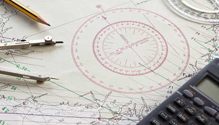
As a result, I was rummaging around the far dark corner of a closet, and I came across a tightly rolled tube that I couldn’t immediately identify. On closer inspection, it turned out to be some old charts I’d taken off our boat. All skippers are pack rats to some extent, and in the new world of chartplotters, I’d forgotten about them.
They were creased and spotted—stained in that peculiar way that charts get after they’ve been used in times of great concentration. One bore a ring that was certainly from a cup of coffee; another had a dark smear that might have been blood or, hopefully, chocolate; and a third had an oily spot, possibly from a potato chip or sunscreen. They had been marinaded, so to speak, in a sauce blended from fear and worry.

One chart in particular caught my interest. It was a large-scale format covering an area of the coastline north of our home port. Now down on my hands and knees on the floor, I weighted the chart corners and considered the thinly penciled line running northward, through waters notorious for fog, gales and lee shores. Suddenly, I realized that this was a chart I’d used on one particular passage to a regatta. A whole flood of memories came rushing back. Full report.

Related Posts
GPS interference off California →

The race to safeguard navigation →

Has technology ruined offshore racing? →