
Wednesday: Weather forecast for Key West Race Week
Published on January 22nd, 2014
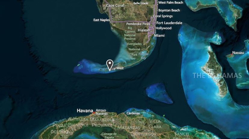
Quantum Key West 2014 hosts 123 teams competing for a full week (Jan. 20-24) in Key West, FL. Located at the southernmost tip of the continental United States, and just 90 miles from Cuba, having a handle on the weather is a challenge and a key to success at this elite event. Here is the weather forecast prepared by Sailing Weather Service issued 0705 LT 22 January 2014…
WARNINGS AND ADVISORIES: A SMALL CRAFT ADVISORY is posted for the sailing area today for winds over 20 knots and rough seas. Conditions can change quickly. Please monitor NOAA All Hazards Radio on your VHF for the latest official warnings and advisories from The National Weather Service.
SYNOPSIS: Rain showers and squalls played havoc with winds on the race course yesterday. Today will be a VERY different day, with strong winds early this morning, through the day. It looks more like the kind Key West is famous for. Tomorrow will have moderate winds, and there now appears to be another push of fresh to strong breezes possible for Friday.
A cold front associated with the nor’easter off New England moved across Key West overnight and will continue to clear out to the southeast this morning. Wind shifted to the NW behind the front and began building significantly after about 0200 this morning. The gradient between the nor’easter and high pressure over the southern Mississippi River valley is producing strong NW/N flow over the eastern Gulf which is extends south to the Keys this morning.

As the day progresses, the high will move south into the western Gulf, then turn on an easterly course to lie over the north-central and western Gulf by later this afternoon. As the high moves closer to FL, the gradient will start to ease and veer today, with surface winds correlating closely to this trend.
Strongest winds of the day will be this morning – probably beforre racing starts. By late morning, and trends toward gradually easing and right-veering winds should be noteable. This will continue into the afternoon. In summary, gusting NW 20-25 knot winds this morning will becoming NNW/N this afternoon, and ease to a 15-20 knot range. There is a chance of average winds dropping below 15 knots mid-/late-afternoon, especially if the breeze veers more aggressively N/NNE.
Much cooler air is spreading across the Keys this morning on the NW’ly flow. Some scattered clouds are possible today, but mainly sunny conditions are expected with no rain in the forecast.
CURRENT CONDITIONS: NW/NNW winds around 20 gusting 25 knots are reported across the area this morning. There have been some gusts into the upper 20s in the last couple of hours.
Radar is clear of any rain. Satellite shows some scattered high clouds moving west to east over Key West. Some scattered to broken low clouds are over the eastern Gulf north of the Keys spreading south, but mainly look to be dissipating before reaching Key West.
FORECAST DISCUSSION: NW/NNW 20-25 at sunrise this morning. Winds tending NNW and moderating to 17-22 late morning and 15-20 mid-day through early afternoon. An additional veer to N is likely this afternoon, and average wind speeds may ease to 14-18. Slight chance of winds becoming N/NNE 12-16 mid-/late-afternoon.
WEATHER: A scattered to broken high clouds this morning, becoming mostly sunny. Much cooler and drier. A few cumulus/stratocumulus clouds may move into the area from the north-northwest this morning through afternoon, however these are expected to be of minor consequence.
TEMPERATURE: Generally holding steady around the mid-60sF today. Less humid so it will feel much cooler on the race course, especially with breeze.
SEAS: Rough seas 2-3 ft close to Key West, increasing to 5-8 ft offshore and especially close to the Gulf Stream. Seas may moderate somewhat through the afternoon on easing and veering winds.
Detailed Wind Forecast:
Time Wind Speed Wind Direction (MAG)
(LT) Mean Range Mean Range
0800 20 17-23 340 330-355
0900 19 17-22 345 330-355
1000 18 16-21 345 335-360
1100 17 15-20 345 335-360
1200 17 15-20 350 335-360
1300 17 15-19 350 340-005
1400 16 14-19 355 340-005
1500 16 14-18 355 345-005
1600 16 13-18 355 345-010
1700 15 13-18 360 345-010
1800 15 12-18 360 350-015
HEDGE: FORECAST CONFIDENCE: ABOVE AVERAGE
1) There is very close agreement between the forecast models this morning. Also, models and observations have been tracking close together through the morning. This lifts forecast confidence.
2) Used a tighter range in the wind direct to reflect model confidence. Direction forecast is a model consensus. For wind speed, used a slightly wider than normal range to reflect gusty character of the wind today.
3) Gusts over 20 knots are likely through the morning. By mid-day, gusts over 20 will become much less likely, and the risk of lulls under 15 will significantly increase.
4) Wind direction is likely to be oscillating in character today. I think left oscillations will generally be with puffs/gusts, and right oscillations will tend to favor lulls.
5) The more right the breeze gets, the less stable the breeze will become. Random shifts and possibly some large holes could develop downwind of Key West as the breeze trends more right.
6) There is an outside chance that winds may collapse a bit faster than indicated in the forecast table today. This would like be especially true if the wind is on the right side of the forecast range or – possibly – even more left than expected. So So N/NNE winds by early afternoon would signal wind speed dropping to mid-/low-teens.
7) Also, if any low cloud move out onto the course area, expect winds to get light just ahead of and under the cloud. Puffs of strong breeze are likely behind any low clouds as they move south and away from the course area.
***************************************************************
OUTLOOK FOR THURSDAY (23 January 2014)
High pressure over the northeast Gulf in the morning will rapidly weaken. The gradient flow around the southern periphery of the high pressure will lead to NE and ENE winds on the sailing area. Generally speaking, the gradient should support moderate 11-15 knot breeze much of the day. There is a chance of some stronger winds in the morning and then lighter winds early or mid-afternoon. A late build and abrupt left shift is possible as another push of Arctic air approaches with a cold front from the northern Gulf later in the day.
Detailed Wind Forecast:
Time Wind Speed Wind Direction (MAG)
(LT) Mean Range Mean Range
0800 17 14-20 045 035-060
1000 16 13-18 045 035-060
1200 14 12-16 055 040-070
1400 13 11-15 060 045-070
1600 13 11-15 055 040-065
1800 14 11-16 040 030-060
SEAS: Moderate seas generally 1-3 ft. Some rougher conditions are possible further offshore toward the northern wall of the Gulf Stream.
TEMPERATURE RANGE: Mid 50sF warming to upper 60sF.
WEATHER: Mainly sunny. A very cool start, then slightly warmer conditions by afternoon.
***************************************************************
OUTLOOK FOR FRIDAY (24 January 2014).
An intense Arctic high pressure is expected to move into the southern and southeastern US by Friday morning. A cold front may move through Key West around sunrise, bringing a return of N/NNE wind and a sharp increase in wind speed. Some fresh to strong gusts are possible, especially in the morning. Winds will moderate a little bit in the afternoon, but fresh and gusting breezes are likely to continue for most of the sailing day.
WIND: Becoming N/NNE 20-25 gusting 30 in the morning, then easing NNE 17-22 mid-day through afternoon.
SEAS: Rough up to 3-5 ft in the morning, moderating 2-4 ft in the afternoon.
TEMPERATURE RANGE: Near 60F / Upper 60sF
WEATHER: Some scattered to broken cloud in the morning with a very slight chance of showers early AM. Then becoming mostly sunny.

Related Posts

Six hours with Ken Legler →

Pics or it didn’t happen →

Drunk man steals tiki hut bar →